Introduction to GIS: Got Data? Map it!

West Electronic Classroom 23167 Young Research Library, 280 Charles E Young Drive North, Los Angeles, CA, United States

RSVP FOR THE EVENT It is said that more than 80% of all data has a spatial component to it. As more and more research is leaning towards spatial analysis, this course offers an introduction to Geographic Information Systems, GIS, as a means to spatialize and analyze your data. As a hands-on course, you will...
Read More

Introduction to GIS: Got data? Let’s map it!

Young Research Library, West Classroom 280 Charles E Young Dr N, Los Angeles, CA, United States

RSVP HERE It is said that more than 80% of all data has a spatial component to it. As more and more research is leaning towards spatial analysis, this course offers an introduction to Geographic Information Systems, GIS, as a means to spatialize and analyze your data. As a hands-on course, you will learn how...
Read More

Intro to GIS: Got data? Let’s map it!

Young Research Library, West Classroom 280 Charles E Young Dr N, Los Angeles, CA, United States

Register Here It is said that more than 80% of all data has a spatial component to it. As more and more research is leaning towards spatial analysis, this course offers an introduction to Geographic Information Systems, GIS, as a means to spatialize and analyze your data. As a hands-on course, you will learn how...
Read More

GIS & Python

Research Commons (RC) Classroom 11630F Young Research Library, 280 Charles E Young Drive North, Los Angeles, CA, United States

Register Here The Python for GIS Workshop will cover how to use open-source Geospatial Python libraries. Topics included are: how to clean geospatial data with Python, converting files, and automating geoprocessing tasks with Python. If you have questions regarding the workshop, please contact the instructor Albert Kochaphum.

Intro to GIS: Getting started with spatial research

IDRE Visualization Portal, Math Sciences Building 5628 520 Portola Plaza, Los Angeles, CA, United States

As members of an academic community with a myriad of research initiatives, the need to map information, to spatially analyze, to geoprocess, and to visualize space and time is becoming ubiquitous. But how do you get started? The answer to this question largely depends on what you want to map, and how you want to create your map. The what is...
Read More

Free

Introduction to GIS and Python

IDRE Portal 5628 Math Sciences Building, 520 Portola Plaza, Los Angeles, CA, United States

An introduction to using GeoSpatial tools with Python. If you have questions regarding the workshop, please contact Albert Kochpahum.

Free

GIS Day

Young Research Library 280 Charles E Young Drive North, Los Angeles, CA, United States

REGISTER NOW Do you want to help people affected by recent natural disasters, environmental impacts, and other humanitarian issues? What about the chance to show a little Bruin Pride and exercise your global citizenship? Come to our humanitarian mapa- thon event - No GIS skills are required – and we will quickly train you to...
Read More

Introduction to GIS and Spatial Research

IDRE Portal 5628 Math Sciences Building, 520 Portola Plaza, Los Angeles, CA, United States

As members of an academic community with a myriad of research initiatives, the need to map information, to spatially analyze, to geoprocess, and to visualize space and time is becoming ubiquitous. But how do you get started? The answer to this question largely depends on what you want to map, and how you want to create your map. The what is...
Read More

Free

Intro to GIS: Getting Started with Spatial Research

Zoom

As members of an academic community with a myriad of research initiatives, the need to map information, to spatially analyze, to geoprocess, and to visualize space and time is becoming ubiquitous. But how do you get started? The answer to this question largely depends on what you want to map, and how you want to create your map. The what is...
Read More

Free

Rebel Story Mapping: Critical Perspectives on Data Visualizations

Zoom

Learn how to break the rules of mapmaking! This workshop's main lecture introduces disruptive mapping practices from critical cartography and indigenous critical theory and applies them to a Critical COVID-19 Story map built on Esri StoryMaps platform. The technical portion focuses on learning how to set up an Esri Public Account, incorporating media and external...
Read More

Free

Introduction to GIS/Spatial Research with Python

Zoom

Register in advance: Please REGISTER using the Zoom Meeting Link before joining!   There are no pre-requisites to take this workshops, but it is recommended that you take the following two workshops: Introduction to Jupyter Version control with git As members of an academic community with a myriad of research initiatives, the need to map...
Read More

Introduction to GIS for the Social Sciences

Zoom

QGIS workshop for processing and visualizing demographic census data, commonly used in the social sciences.   If you have any further questions regarding the workshop, please contact instructor Albert Kochaphum.

Free

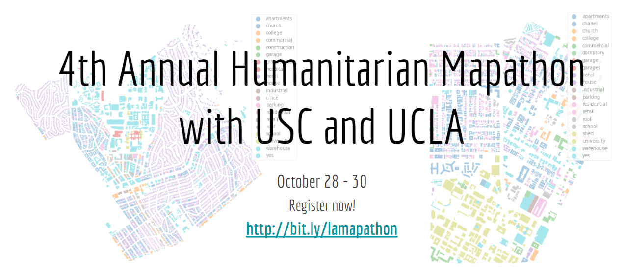
4th Annual Humanitarian Mapathon with USC and UCLA

Zoom

REGISTRATION IS NOW OPEN, RSVP HERE!  Wednesday October 28th, 10am (PDT): Welcome message and humanitarian map training Thursday October 29th: Continue mapping and a day of workshops9am Open Street Map with Python 11am Open Data and Tableau 1pm GIS with R 3pm Introduction to QGIS Friday October 30th, 10am (PDT): Wrap-up and closing Keynote with...
Read More

Introduction to GIS with Open Street Map and Python

Zoom

Please RVSP here. Workshop will be conducted in Zoom in PST time. Invites are sent out the day before the workshop. This workshop is part one of a four-part workshop series in the 4th Annual UCLA/USC Humanitarian Mapathon. You will learn how to use Python within Jupyter Notebooks to find Open Street Map data for...
Read More

Free

UC GIS Week

Zoom

Register now for the first UC GIS Week conference from Nov. 17th - 19th!  The UC GIS Week committee is proud to announce the first UC-wide GIS Week. Join us for a 3-day virtual conference which celebrates the GIS work of the University of California faculty, staff, students, and alumni. The University of California system...
Read More

Introduction to GIS for the Social Sciences with QGIS

Zoom

Please REGISTER in advance here. Workshop will be conducted in Zoom in PST time. Invites are sent out the day before the workshop.   Description Coming Soon   If you have any further questions regarding the workshop, please contact the instructor Albert Kochaphum.

Free

Introduction to Spatial Statistics with Python

Zoom

Registration link: https://ucla.zoom.us/meeting/register/tJwkdu6hqj4sG9ZioB0tM8VuXxA44AWGc6W- Visual interpretations are meaningful ways to determine spatial trends in our data. However, underlying factors—such as inconsistent geographies, scale, data gaps, overlapping data—have the potential to produce incorrect assumptions, as valuable information may be conveniently hidden from the visual output. One way to address this issue is to amend your visual output...
Read More

Introduction to Open Source Web GIS with Leaflet

Zoom

Research projects are often confronted with the need to publish results to communicate their findings to the general audience. Publishing research on an interactive web-based map is an effective and visually compelling way to do so. In this workshop, participants will learn the basics of HTML, CSS and Javascript. We will use the Leaflet library...
Read More

Introduction to Remote Sensing with Python

Zoom

Landsat imagery of the 2020 Bobcat wildfire generated using Python Register here Satellites are circling our planet, allowing us to "sense" things about the Earth. It is the art and science of making measurements using sensors. Remote sensing has thus become a valuable tool in research and applications in a wide range of disciplines, such...
Read More

Introduction to QGIS and Digital Gazetteers

Zoom

This introductory workshop will introduce participants to basic desktop GIS functionality in QGIS and digital gazetteers which underpin the majority of digital mapping research. Upon completion of the workshop, participants will be able to take an arbitrary list of places, associate that list with a digital gazetteer, and create a map in QGIS suitable for...
Read More

Events List Navigation

UCLA OARC